Castelldefels open urban spaces model

The aim of this document is to define a new model for the structure of open urban spaces for the municipality of Castelldefels which will enable planning modifications and projects to improve the public space and mobility to be undertaken.
- Area:
- 415 ha
- Phases:
- Estudi -
- Supervision and coordination:
-
Josep Maria Carreras (director of Urban Planning Services, AMB), Loles Herrero (head of the Urban Planning Service, AMB)
- Drafting team:
-
Jordi Peralta and Anna Majoral (architects, AMB), Aina Alemany, Marc Ruiz, Jaime Andrade and Albert Rodríguez (architecture students, AMB)
- Municipalities:
- Castelldefels
Gallery
Description
Official title of the plan
Proposal for the improvement of the urban structure: model for open urban spaces in Castelldefels.
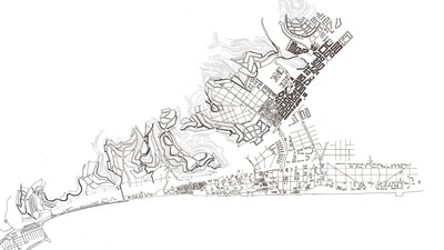
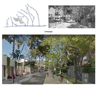
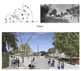
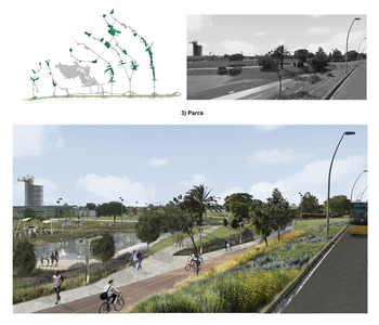
The study proposes a new urban planning model for the town of Castelldefels, which will lead to the functional improvement of the town’s green areas and public facilities, and create a clear and powerful local structure that can act as the basis for public interest and the success of future actions in the short, medium and long term. The proposal involves creating a structure based on the shape of the territory, which creates a hierarchy in the network of open spaces and facilities, prioritising quality over quantity, which is simultaneously simple and versatile, and which connects and articulates both the local and territorial scales. The different urban, social and environmental policies due to be undertaken in the municipality can only be channelled transversally based on an ambitious municipal model.
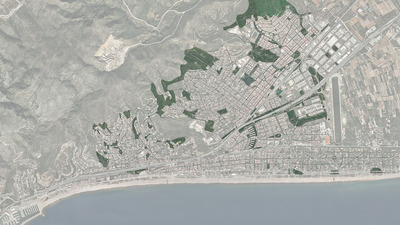
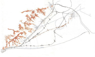
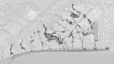
Castelldefels has a privileged position within the Llobregat Delta system, as the Garraf mountain range is at this point very close to the coast, and this means that it has a very direct relationship between the two natural systems. This connection has historically been cut off by the infrastructures crossing the territory, ranging from the Santa Creu de Calafell road to the C-32 motorway (which was built for the 1992 Olympic Games). They all end at the bottleneck that allows them to continue southwards. The municipality consists of two highly differentiated areas separated by the Can Aymerich hinge region – the east side where the flatness of the Delta combines with the initial slopes of the Garraf mountains and the historic centre located by the foothills and the west side, containing the neighbourhoods of Poal and Bellamar, where the mountain system is much more evident and housing developments are located on its slopes.
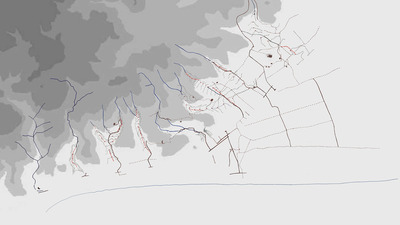
In terms of landscape, Castelldefels extends over a series of reliefs running perpendicular to the sea which drain its water like short fingers – sometimes into the Mediterranean and sometimes into the Delta’s aquifer by seepage. This sequence of valleys and ridges is vitally important in the proposal of the new model, as the built fabric has been erasing this powerful biophysical matrix, and relief and water have been lost.
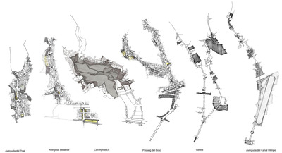
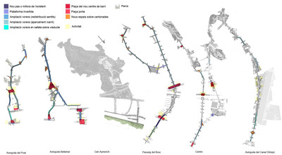
The proposed model therefore acknowledges and strengthens six structural corridors that will reconnect the town, running in a sea-mountain direction. From east to west, these corridors are the Olympic canal, the central corridor, the forest walkway, the Can Aymerich corridor, the Bellamar corridor and the Poal neighbourhood corridor. The planned transformation of the C-245 road into a metropolitan avenue will connect the six fingers horizontally in the form of a spine.
Among other initiatives, the deployment of the model entails the implementation of one or more specific amendments to the Metropolitan General Plan. A preliminary test of these planning proposals has been carried out, using the various urban planning tools and actions available including classification, grading, management, expropriation, agreements, etc.


